Measure any surface with precision.
Turn your iPhone into a professional measurement tool. Point your camera or walk a perimeter — get instant area and perimeter calculations.
Two ways to measure
Choose the right mode for the job.
Built for professionals
Everything you need for accurate surface measurement.
Multi-Polygon Support
Measure adjacent areas and see distances between them. Perfect for complex layouts with multiple zones.
PDF / KML / GPX Export
Generate professional PDF reports with diagrams. Export to KML for Google Earth or GPX for mapping software.
Diagram Annotations
7 annotation tools including text, arrows, shapes, and hatch patterns. Full color picker and 30-level undo.
Edge Lengths & Analysis
See individual side measurements, per-edge slope calculations in degrees and percent, and distances between polygons.
Map View & Location Tags
See all saved measurements on a map, clustered by location. Each measurement stores where it was taken.
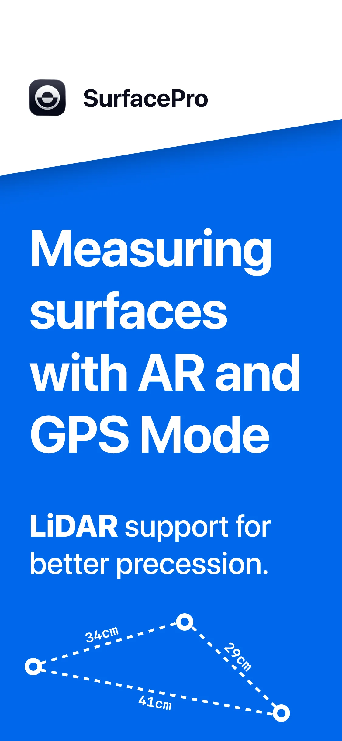
LiDAR Enhanced
3-layer accuracy system: LiDAR mesh detection, plane geometry, estimated plane. Sub-centimeter accuracy on Pro devices.
See it in action
Precise measurement UI designed for speed and clarity.
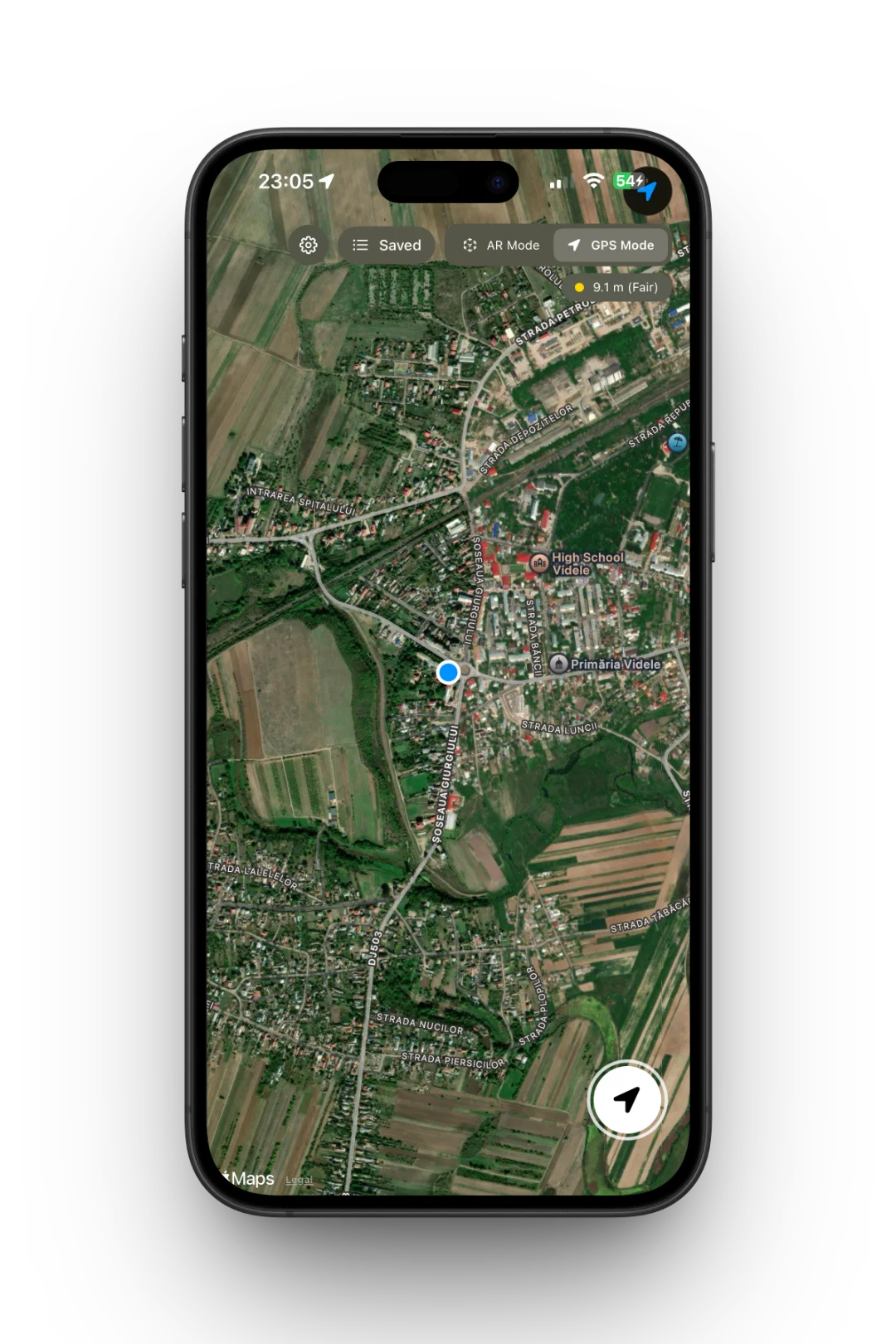
AR measurement mode
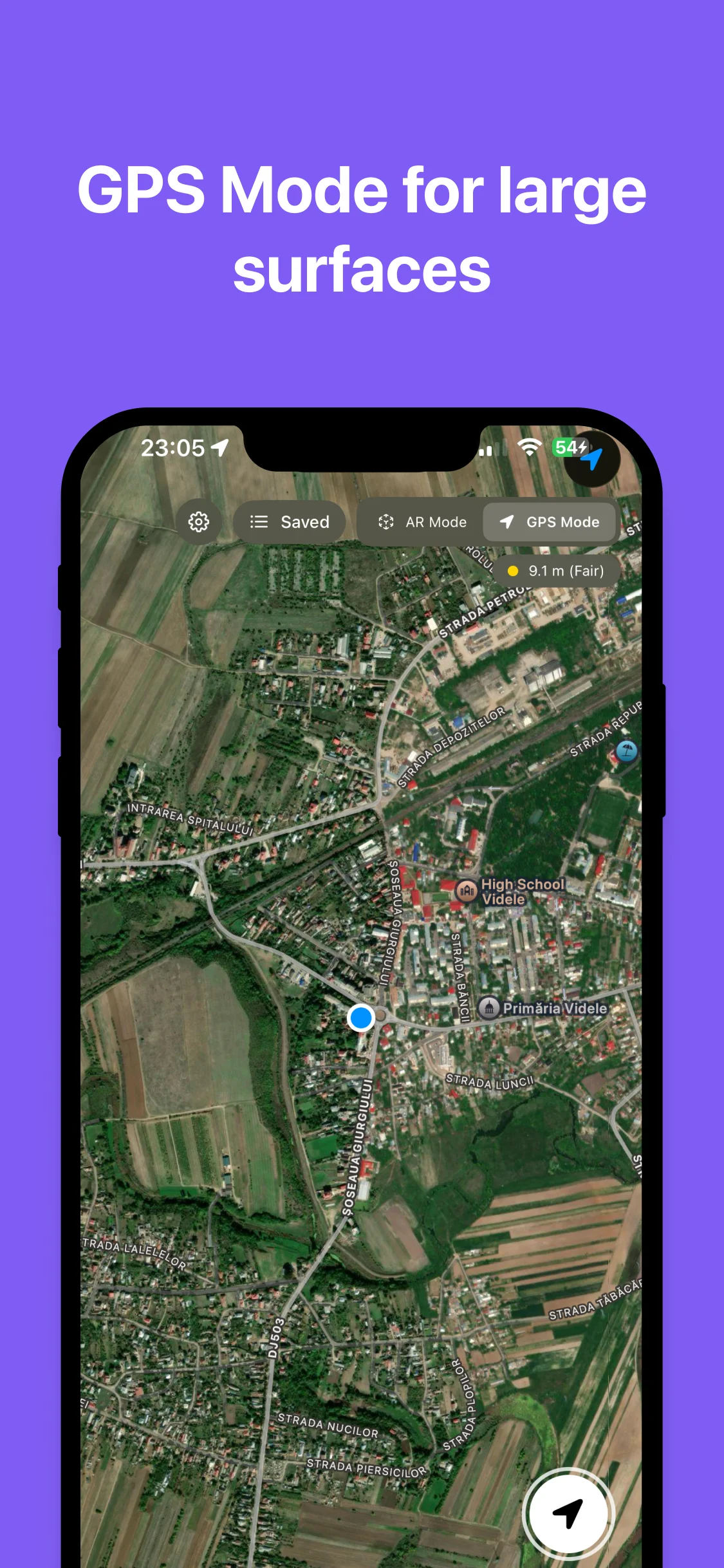
GPS satellite map view
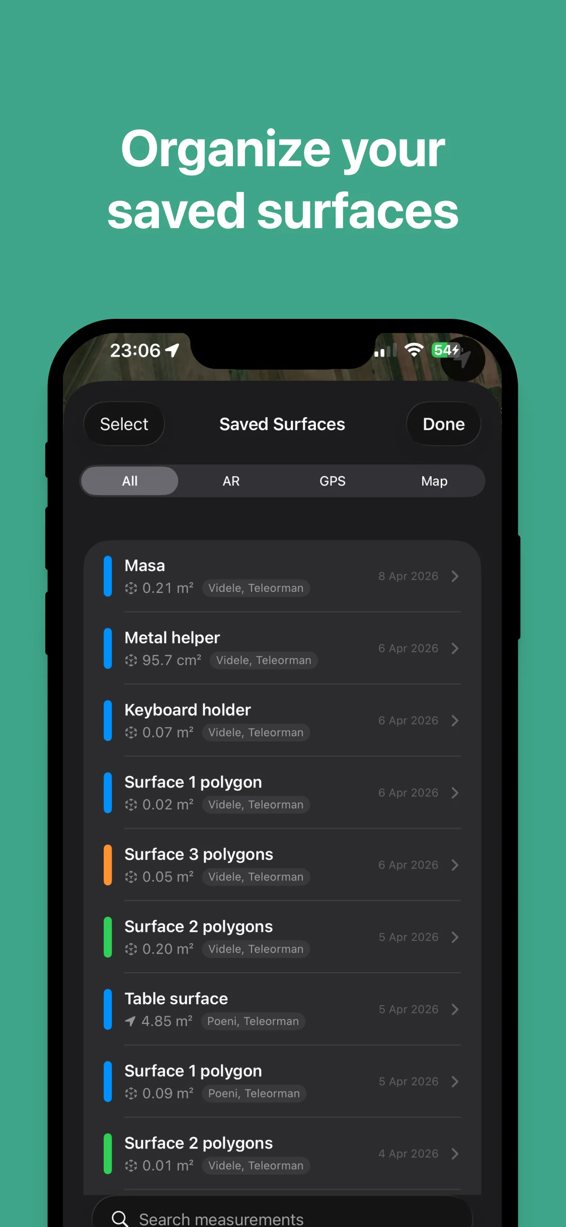
Saved measurements list
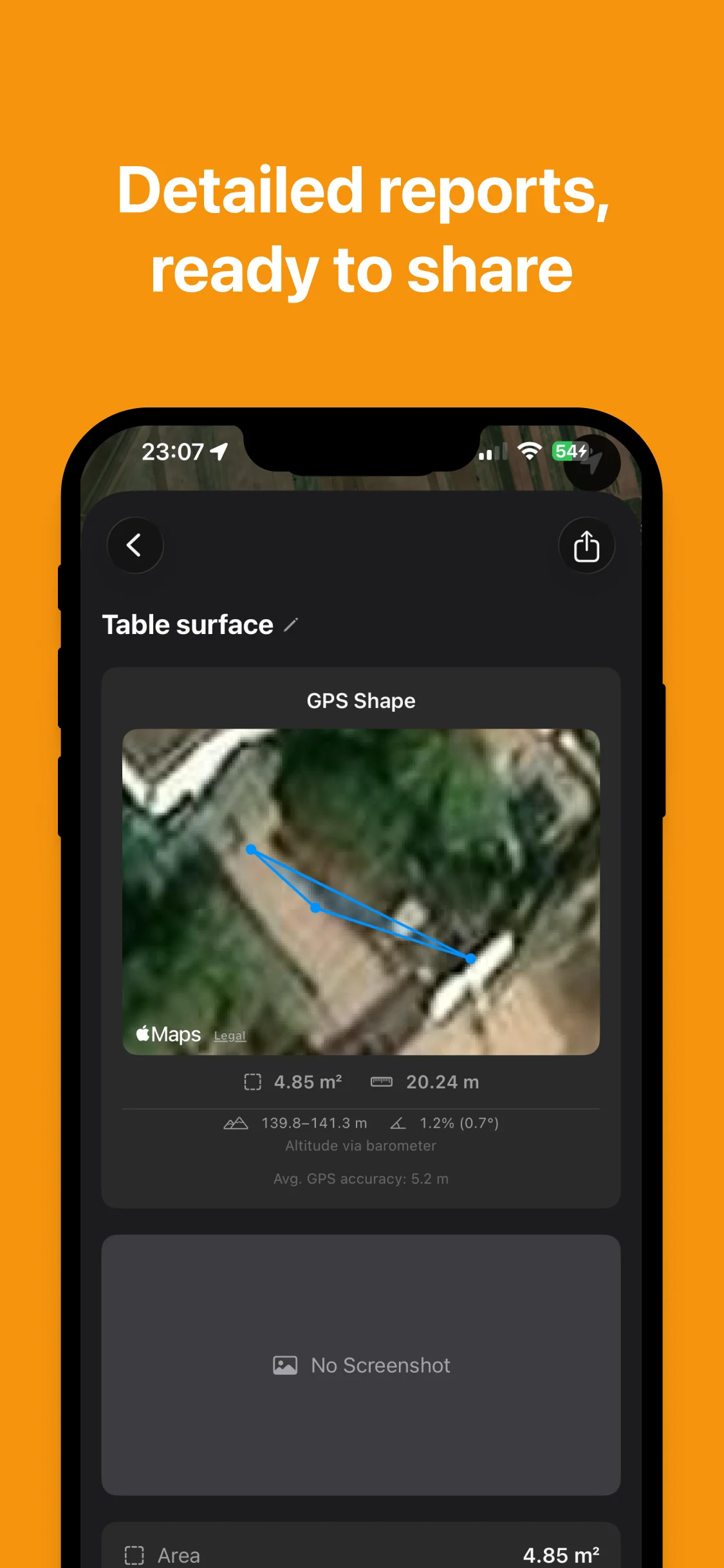
Detailed measurement report
Free vs Pro
No subscription. Buy once, own it forever.
| Feature | Free | Pro |
|---|---|---|
Measurement points | 8 | 50 |
Saved measurements | 3 | Unlimited |
AR measurement | ||
GPS measurement | ||
LiDAR enhanced | ||
Multi-polygon | ||
PDF / KML / GPX export | ||
Diagram annotations | ||
Polygon analysis |
Who it's for
Homeowners
Rooms, yards, patios, driveways
Landscapers
Lawn areas, garden beds, mulch coverage
Contractors
Flooring, painting, tiling estimates
Real Estate
Lot sizes and floor areas on site
Agriculture
Field plots, irrigation, crop areas
Recreation
Campsites, sports fields, event spaces
Start measuring today
Download SurfacePro for free. Upgrade to Pro with a one-time purchase — no subscription, no recurring charges.